
The "Stops" tab provides a map and table showing information relevant to all of the stops in the district. From this page, you can view a stop's address and location on the map, as well as see which users, students, and routes are associated with each stop. You can also hover over the blue hyperlinks to view the information available for each of these columns.
Note: FirstView GPS districts do not include any stop data and this tab will not be present in the Dashboard.
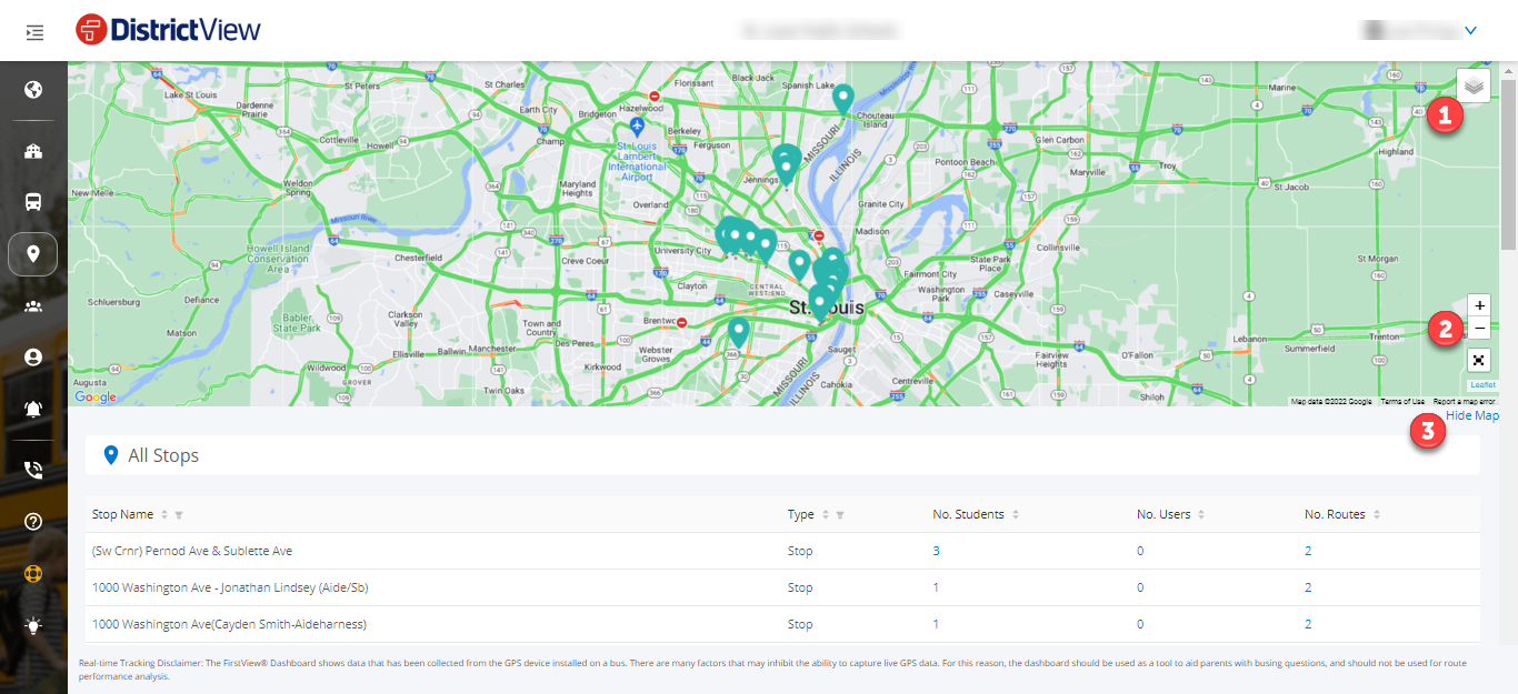

Below are descriptions of each column in the table
Stop Name: Provides a list of each stop in the district. You can filter to find a specific stop in the district or see a stop's location on the map by clicking on the address.
Type: Displays the different stop locations on the route. You can filter stops based on their type.
No. Students: Displays the number of students for the stop. By hovering over this, you can see information about the students associated with this stop.
No. Users: Displays the number of FirstView users for the stop. By hovering over this, you can see information about the users associated with this stop.
No. Routes: Displays the number of routes that include this stop. By hovering over this, you can see information about the routes that contain this stop.